หากจะให้ตอบให้ชัดเลยว่าเทคโนโลยีไหนดีกว่ากันระหว่าง Laser Scan กับ LiDAR Scan อาจจะไม่สามารถเลือกได้เสียทีเดียวเนื่องจากเทคโนโลยีทั้งสองนั้นมีข้อดีและจุดเด่นที่แตกต่างกันออกไป
จุดที่ทำให้ความสามารถของทั้งสองเทคโนโลยีนั้นมีจุดเด่นที่ต่างกันคือ หลักการของเทคโนโลยี (Technological Foundation)
สำหรับการใช้ Laser Scan นั้นคือเทคนิคที่ใช้แสงเลเซอร์เพื่อจับภาพรูปทรงเรขาคณิตหรือวัตถุต่าง ๆ รวมถึงแสงเลเซอร์ที่สะท้อนบนพื้นผิววัตถุและใช้ระยะเวลาที่แสงกลับมาเพื่อกำหนดระยะทาง ข้อมูลที่ได้กลับมาเพื่อขึ้นรูป Digital Model จะเรียกว่า Point Cloud

ส่วน LiDAR เป็นเทคนิคการสำรวจระยะไกลในรูปแบบของการสแกนด้วยการส่งคลื่นเลเซอร์ลักษณะเหมือนชีพจร (Pulse) เพื่อวัดระยทางและสร้างแผนที่ภาพ 3 มิติของภูมิประเทศ ใช้การจับแสงสะท้อน และด้วยการวัดระยะเวลาที่จะผ่านไปก่อนที่ pulse จะสะท้อนจะกลับมาจึงสามารถสร้างแบบจำลอง Point Cloud ของพื้นที่โดยรอบที่สแกนได้

หากนำเทคโนโลยีมาเปรียบเทียบกันจะพบว่า
ด้านการใช้ Laser Light Pulse: ทั้งสองเทคนิคใช้แสงเลเซอร์เหมือนกัน แตกต่างตรงที่ Laser Scan จะเน้นไปที่การเก็บรายละเอียดขนาดเล็กและความแม่นยำสูง แต่ LiDAR จะใช้กับ Pulse Laser เพื่อวัดระยะทางของพื้นที่ขนาดใหญ่ อีกทั้งยังมีอำนาจการทะลุทลวงมากกว่า
ด้านผลลัพธ์ที่ได้: ทั้งสองเทคโนโลยีได้ผลลัพธ์เป็น Point Cloud เหมือนกัน แต่ต่างกันตรงที่ Laser Scan จะได้ข้อมูลที่มีความหนาแน่นกว่า มีรายละเอียดมากกว่า ส่วนข้อมูลที่ได้จาก LiDAR ค่อนข้างคล้ายกับ SAR (Synthetic Aperture Radar) จะได้ความละเอียดที่น้อยกว่า แต่จะได้พื้นที่ขนาดใหญ่กว่า
เมื่อเราทราบข้อดีของแต่ละเทคโนโลยีแล้วนั้น จึงพอจะสรุปสั้น ๆ ได้ดังนี้
Laser Scan มีความแม่นยำและความละเอียดสูง จึงเหมาะสำหรับงานที่ต้องการรายละเอียดของโมเดลมาก เช่น งานโครงสร้าง, งานตรวจสอบ, งานจำลองภาพ 3 มิติ (VR)

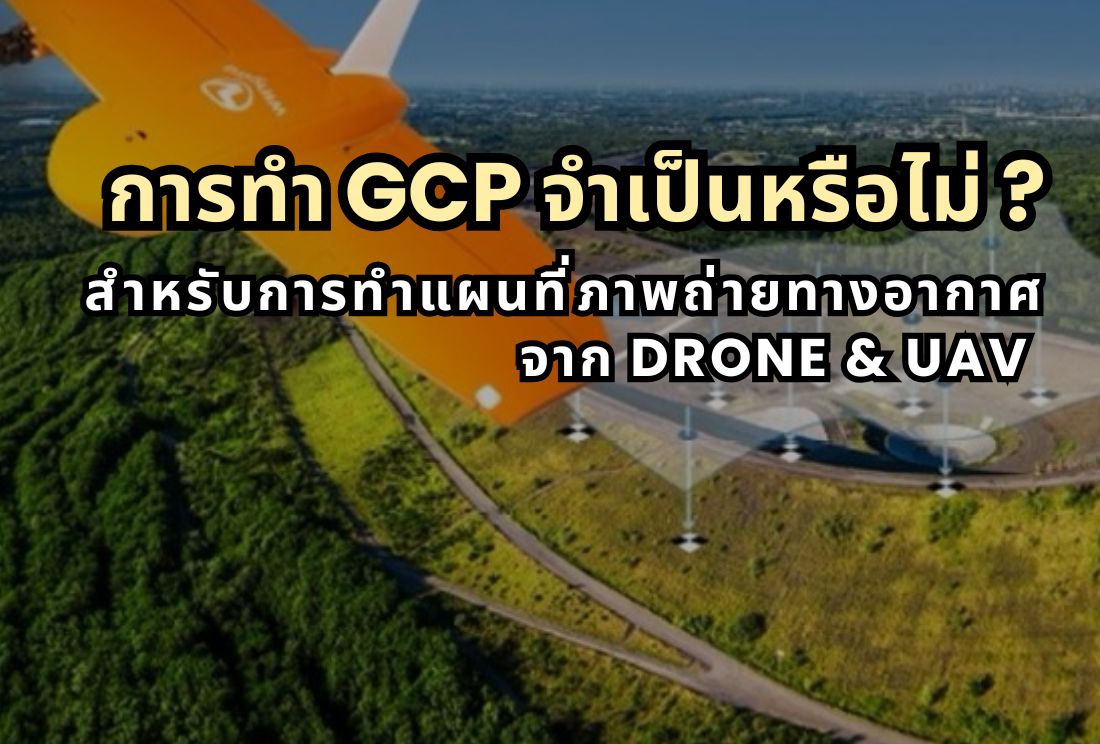
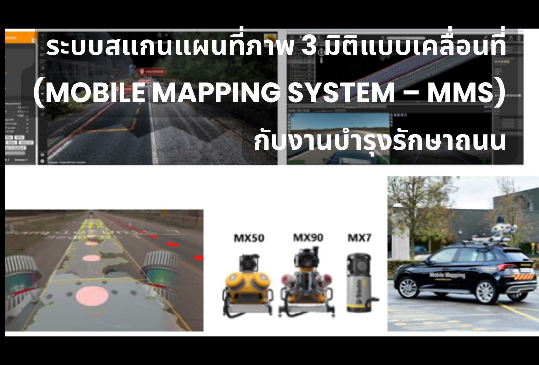
LiDAR Scan สามารถเก็บข้อมูลได้อย่างรวดเร็วและบริเวณกว้าง สามารถนำไปประยุกต์ใช้ได้หลายอย่าง ไม่ว่าจะเป็นการติดตั้งกับยานพาหนะ, ติดกับ UAV เพื่อเก็บข้อมูลพื้นผิวบริเวณพื้นที่ป่า, งานกลุ่มโยธาธิการและผังเมือง, งานเฝ้าระวังและบรรเทาสาธารณภัย

หากสนใจเทคโนโลยีด้าน Laser Scan หรือ LiDAR Scan ทางบริษัทมีจำหน่ายทั้ง 2 เทคโนโลยีจากสินค้าแบรนด์ชั้นนำของโลก
ติดต่อสอบถามข้อมูลเพิ่มเติมได้ที่
แผนกเครื่องมือสำรวจ (Surveying Instruments Division)
บริษัท ฮอลลีวู้ด อินเตอร์เนชั่นแนล จำกัด (Hollywood International Ltd.)
☎ 02-653-8555, 02-653-8255, 02-251-6032 ต่อ 810, 820 หรือ 821
📧 This email address is being protected from spambots. You need JavaScript enabled to view it.
🌐 www.hollywood.co.th


_large.jpg)


1_large.jpg)


_large.jpg)


_large.jpg)


_large.jpg)


_large.jpg)

_large.jpg)


_large.jpg)


_large.png)


